NSW 8333-S – Kerriwah Supply
- Estimated Delivery : Up to 4 business days
- Free Shipping & Returns : On all orders over $200
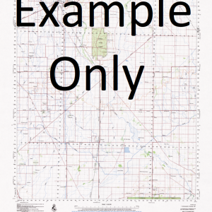
This Topographic Map is produced by the New South Wales Government.
This map is supplied in digital in PDF format, which means it can be printed at home or sent to a professional printer for a 100% scale reproduction.
At this scale, 2cm on this map represents 1km on the ground. A standard map (which is square) covers an area of approximately about 25km by 25km, with a contour interval of 10m. This map contains natural and constructed features including road and rail infrastructure, vegetation, hydrography, contours, localities and some administrative boundaries.
Dysart Inveralla Milbridge Hylea Croydon Belmore Glenora Wattle Springs New South Wales Babathnil Lagoon Ana Branch Albert State Forest Albert Cemetery Albert Creek Bulbodney Dandaloo Dam Emu Plain Creek Emu Waterhole Hartington Hawarden Kerriwah Leg of Mutton Tank Meryula Meryula Anabranch Meryula National Forest Meryula State Forest Minalong Minalong Lagoon Minelang Lagoon Minemoorong Minemoorong Siding Mogille Plain Oberon Old Man Creek Pinefield Public School Stafford Tabratong Tabratong State Forest Top Woodlands Wilmatha Bumbaldry Double Dam Burra Millewa Tigers Camp Creek Minemoorong Station Millridge Albert Woodlands Woodleigh Ballatta Dunrovin Dundaloo Dam Currawong Ridge Wongalea Middletons Creek
| Title | Pdf Download |
|---|
Related products
-
GA 3951 – Shepperd Sale
$12.50