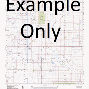
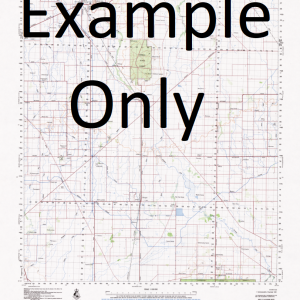
NSW 8327-2N – Big Springs Supply
- Estimated Delivery : Up to 4 business days
- Free Shipping & Returns : On all orders over $200
This Topographic Map is produced by the New South Wales Government.
This map is supplied in digital in PDF format, which means it can be printed at home or sent to a professional printer for a 100% scale reproduction.
At this scale, 4cm on this map represents 1km on the ground. A standard map (which is square) covers an area of approximately about 12.5km by 12.5km, with a contour interval of 10m. This map contains natural and constructed features including road and rail infrastructure, vegetation, hydrography, contours, localities and some administrative boundaries.
Mangoplah Big Springs Cajaldura Hill Coffin Rock Coffin Rock Hill Mount Flakney Flakney Kings Creek Little Sandy Creek Livingstone Livingstone Gully Livingtone Public School Lookout Hill Mount Lookout Mcclouds Creek Maxwell Misery Hill Mount Misery Mundongo O Briens Creek Pillagalala Creek Pimple Hill Pine Creek Pinnacle Creek Rocky Falls Creek Sandy Creek Woomahrigong Spring Gully Hillview Gregadoo Station Cox Creek The Pinnacle
| Title | Pdf Download |
|---|

