NSW 8125-1N – Dugays Bridge Supply
- Estimated Delivery : Up to 4 business days
- Free Shipping & Returns : On all orders over $200
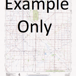
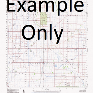
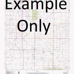
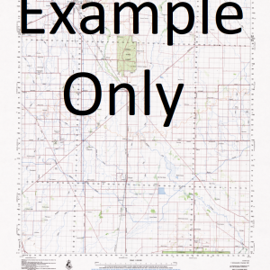
This Topographic Map is produced by the New South Wales Government.
This map is supplied in digital in PDF format, which means it can be printed at home or sent to a professional printer for a 100% scale reproduction.
At this scale, 4cm on this map represents 1km on the ground. A standard map (which is square) covers an area of approximately about 12.5km by 12.5km, with a contour interval of 10m. This map contains natural and constructed features including road and rail infrastructure, vegetation, hydrography, contours, localities and some administrative boundaries.
Bunyarra Brimin Lodge Timbers Norona Park Rock Barton Rutherglen Croppers Lagoon Dairy Lagoon Boiling Down Creek Brimin Bullers Winery Caliopie Vineyard Campells Winery Carlyle Chambers Vineyard Dugays Bridge Primary School John Voss Footbridge Jones Winery Lake Moodemere Lewis Bend Lilliput Murdering Hut Creek Norong Rutherglen Fire Station Rutherglen High School Rutherglen Hospital Rutherglen Magistrates Court Rutherglen Police Station Rutherglen Primary School Rutherknoll Seppelts Springhurst-Wahgunyah Railway Stanton and Killerns Winery Stantons Bend Taylors Bend Wahgunyah Wahgunyah Primary School North Prentice Black Dog Creek Great Southern Norong Central Didah Didah Creek
| Title | Pdf Download |
|---|

