NSW 8029-S – Benerembah Sale
- Estimated Delivery : Up to 4 business days
- Free Shipping & Returns : On all orders over $200
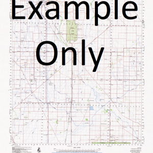
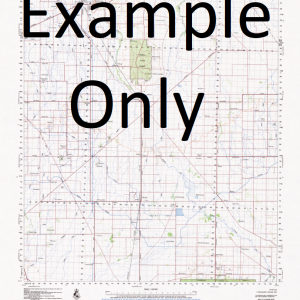
This Topographic Map is produced by the New South Wales Government.
This map is supplied in digital in PDF format, which means it can be printed at home or sent to a professional printer for a 100% scale reproduction.
At this scale, 2cm on this map represents 1km on the ground. A standard map (which is square) covers an area of approximately about 25km by 25km, with a contour interval of 10m. This map contains natural and constructed features including road and rail infrastructure, vegetation, hydrography, contours, localities and some administrative boundaries.
Brohea Ainsley Mirrool Park Melrose Bando Wardry Warra Park Tambo Benerembah North Down Rancho Grande Wychie Eloura Warrawidgee Bimbimbi Carinya Ercildoune Giannini Kyeema Allawah Lesterlee Maxlands Bimbil Coonabimba Marylands Brooklyn Park Clearview Mary Dale Lynwood Amaroo Berriwa Red Hill Tresco Roballan Boree Plain Brigadoon Towri Cuba Tree Quindalup Warrawidgee Station Yackaboon Mervondale Benbah Vinsondale Kimarbry Cremona Alban Park Groongal Truro Benaan Yoma Park Baillie Bendigo Benerambah Benerembah No 2 Channel Benerembah Railway Station Benerembah Well Bringagee Bringagee Creek Bringagee Railway Station Bringagee Siding Cajaldura Carrathool Cumbungi Creek Cumbungi Lagoon Deep Creek Groongal Railway Station Gum Creek Gum Creek Lagoon Hyde Park Cumbungie Lagoon Cumbungy Creek Cumbungy Lagoon Currathool Gumbungy Creek Gumbungy Lagoon Kooba Main Drain Kooba Outfall Drain Kooroongal Village of Kooroongal Learmonth Learmonth Well Mckennas Lagoon Packidilli Lagoon Poligonum Swamp Polygonum Swamp Singorambah Toganmain Tocanmain Warburn Weedyabregan Lagoon Wowong Djallah Djallah Flat Dry Creek Djallah Swamp Dead Ram Waterhole Tharbogang Station Learmouth Well Benerembah Station
| Title | Pdf Download |
|---|

