GA SF49-16 – Minilya Special Sale
- Estimated Delivery : Up to 4 business days
- Free Shipping & Returns : On all orders over $200
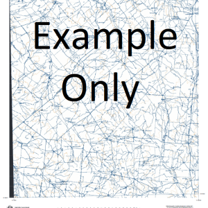
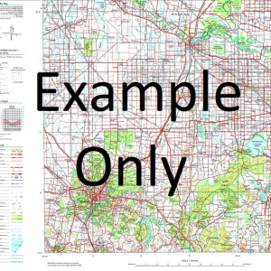
This Topographic Map is produced by Geoscience Australia; Australia s national geospatial organisation.
GA topographic maps (many of which are produced in partnership with the Army) are generally older than those maps produced by the State Governments over the same area. This makes GA maps particularly useful for identifying historic features, such as old mines and diggings.
Geoscience Australia maps generally considered to be more pleasing in design and compilation then the more modern State Government productions.
At this scale, 1cm on this map represents 2.5km on the ground (4cm = 10km). A standard map will cover 150km from east to west and 110km from north to south, with a contour interval of 50m. This map contains natural and constructed features including road and rail infrastructure, vegetation, hydrography, contours, localities and some administrative boundaries.
Please note the date of the map, as this will impact the currency of information, particularly regarding infrastructure, roads, etc.
Coral Bay 10 Mile Well 11 Mile Tank 16 Mile Tank 17 Mile Well 184 Well 3 Mile Tank 3 Mile Well 5 Mile Tank 6 Mile Well 7 Mile Tank 9 Mile Wells Airey Hill Airey Pool Alison Point Amherst Point Anaconda Well Anchor Hill Apex Hill Artesian Bore Ayliff Tank Ayliff Well Barrabiddy Creek Bateman Bay Beacon Point Big Bore Billabong Tank Bills Bay Black Rock Black Rock Passage Bolman Hill Booracoorilya Pool Boorawoora Pool Boundary Reef Brockmans Tank Brown Well Bruboodjoo Point Bulbarli Point Bulbarli Reef Bulbarli Well Bunbury Bore Bunbury Tank Camp Hill Cape Farquhar Carbaddaman Passage Cardabia Cardabia Passage Carlilywaroo Pool Carter Hill Cattle Tank Centenary Bore Chabjuwardoo Bay Chingarri Well Cloates Hill Coast Hill Coral Bay Nursing Post Corbett Well Crayfish Reef Daly Hill Dawson Hill Doublet Hill End Tank Entrance Hill False Hill Farnham Well Five Finger Reef Flemington Well Fletcher Hill Frazer Island French Hill Gnaraloo Gnargoo Pool Gnargoo Range Gnarraloo Bay Gooseneck Hill Greyling Hill Griffen Bore House Well Jane Bay Jarvis Well Javis Well Kadjilikundi Well Kooloobelloo Well Lefroy Bay Lilydale Tank Lund Hill Lyndon River MacLeod Madges Bore Manarrah Creek Marsh Hill Maud Hill Mauds Landing Minilya Minilya Pool Minilya River Monck Head Monument Well Moonta Rock Ningaloo Ningaloo Marine Park No. 1 Bore No. 2 Tank No. 4 Tank No. 6 Tank North Bore North Hill Norwegian Bay Old Gnaraloo Paterson Bore Pearson Hill Pelican Point Perth Hill Point Anderson Point Billie Point Cloates Point Cloates Light Point Cloates Lighthouse Point Edgar Point Maud Pommies Tank Range Well Round Headed Hill S.S. Perth Sandfly Bore Sandy Bluff Sandy Point Scorpion Well Sextant Hill Shed Well Skeleton Beach Snake Gully Well South Hill South Yardie Well Stanley Hill Stanley Pool Steve Well Steves Well Stone Tank The Bore Turkey Hill Twin Hill Twin Tanks Unknown Hill Upper Bulbarli Well View Hill Wadera Bore Wally Tank Wally Well Warroora Warroora Well Weajuggoo Hill West End Tank Whaleback Hill White Ant Bore Wilson Well Winderabandi Point Yalobia Hill Yalobia Passage Yalobia Well Yardie Creek Yellow Hill The Jacob Remessens Yardi Creek Bundera Bundera Well Bunderra Bunderra Well Bundera Bundera Wealjugoo Hill Weaguggu Hill Fraser Island Frazer Islet Crayfish Rock Bauboodjoo Point Maud Landing Yalobra Hill Waroora North Reef Gnarraloo Gnaraloo Homestead Moodoogooroo Pool Lake McLeod
| Title | Paper, Laminated |
|---|
Related products
-
GA 4038 – Leech Hot on Sale
$12.50 -
GA 3959 – Worral Online Sale
$12.50