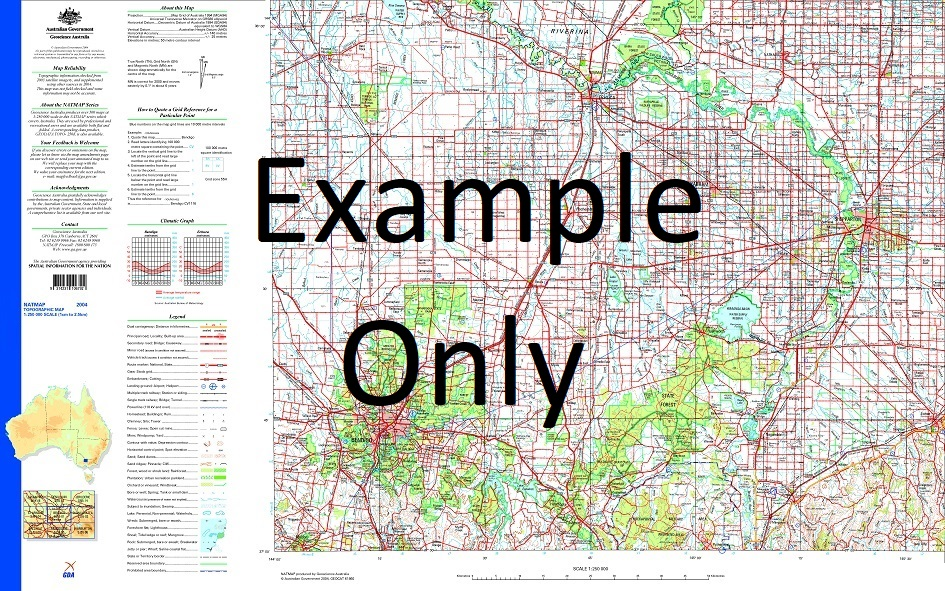
GA SG54-15 – Durham Downs Fashion
- Estimated Delivery : Up to 4 business days
- Free Shipping & Returns : On all orders over $200
This Topographic Map is produced by Geoscience Australia; Australia s national geospatial organisation.
GA topographic maps (many of which are produced in partnership with the Army) are generally older than those maps produced by the State Governments over the same area. This makes GA maps particularly useful for identifying historic features, such as old mines and diggings.
Geoscience Australia maps generally considered to be more pleasing in design and compilation then the more modern State Government productions.
At this scale, 1cm on this map represents 2.5km on the ground (4cm = 10km). A standard map will cover 150km from east to west and 110km from north to south, with a contour interval of 50m. This map contains natural and constructed features including road and rail infrastructure, vegetation, hydrography, contours, localities and some administrative boundaries.
Please note the date of the map, as this will impact the currency of information, particularly regarding infrastructure, roads, etc.
Ballera Ballera Creek Barmaroo Baryulah Baryulah Waterhole Beereelah Waterhole Ben Challum Ben Dhu Big Wallawanny Waterhole Bloodwood Bogala Waterhole Bogeena Creek Bone Creek Boolloo Boolloo Waterhole Boongeena Creek Bycoe Creek Cairngorm Calilpie Carneys Waterhole Chastleton Chookoo Sandhill Cithara Cobboocobboomingie Creek Coloy Creek Comeroo Comeroo Creek Coonyah Waterhole Cooper Cooper Creek Cooroo Creek Cooteena Creek Cummavalla Creek Didhelginna Didhelginna Waterhole Doombilly Waterhole Drooka Drooka Waterhole Durham Durham Downs Echuburra Creek Eelyinny Creek Folly Fort Wills Galera Gallina Waterhole Gillaberree Waterhole Glenfall Goonbabinna Waterhole Goonoorookooroo Creek Gourock Graham Creek Greenock Gunna Gunna Waterhole Ivan Jackson Creek Karmona Katawulka Creek Keilor Konkoh Creek Koonandra Waterhole Lake Pure Lignum Creek Lignum Waterhole Limestone Creek Little Wallawanny Waterhole Lurgan Maapoo Maapoo Waterhole Madany Waterhole Mansfield Maraquita Marranumbla Meringhina Meringhina Waterhole Merri Waterhole Middle Swamp Milkryna Creek Milthaminnie Creek Minaritchi Creek Mookoo Waterhole Muddlemurra Creek Mudrapunyah Creek Mulgerra Creek Munkah Creek Murinny Creek Murramurrah Creek Murrawarra Creek Naccowlah Naccowlah Billabong Naccowlah Waterhole Nappamerry Nappamerry Waterhole Nappapethera Waterhole Narberry Waterhole Nilparoo Nockabooka Waterhole Nockaburrawarry Waterhole Nockanoora Nockanoora Waterhole Nockatunga Okena Creek Onkono Waterhole Oondacurrurrah Creek Oontoo Oontoo Waterhole Owwirree Paddy Paddy Waterhole Parenjelly Creek Pepita Poongerra Creek Poothapathaminny Creek Portsea Pullaputchy Creek Purobitty Waterhole Quartier Creek Queemarra Raworth Sandy Creek Santa Rosa Shamrock Sorrento Tabbareah Waterhole Tallalia Creek Teedledee Waterhole Tennappera Tiger Waterhole Tindera Creek Tinpilla Tookabarnoo Tookabarnoo Waterhole Tooley Wooley Creek Tooley Wooley Waterhole Tooperry Waterhole Tunpilla Waterhole Walkalla Creek Walkalla Waterhole Wareena Creek Warra Warnie Waterhole Warrawanna Warrawanna Waterhole Wemyss Wilparoo Waterhole Wilson River Wippo Wippo Creek Woomanooka Woomanooka Creek Wooroogoorah Waterhole Wyjudga Sandhill Yanda Creek Yetally Yetally Waterhole Yilpilly Creek Yumba Creek Gregory South Boundary Pile Merninie Creek Boundary Hill Merninie Dams Yanpurra Hill Waddi Waddi Yards Lake Pura Saint Ann Range Murungerie Yards Nappa Merrie Nappa Merri Nappamerrie
| Title | Paper, Laminated |
|---|
