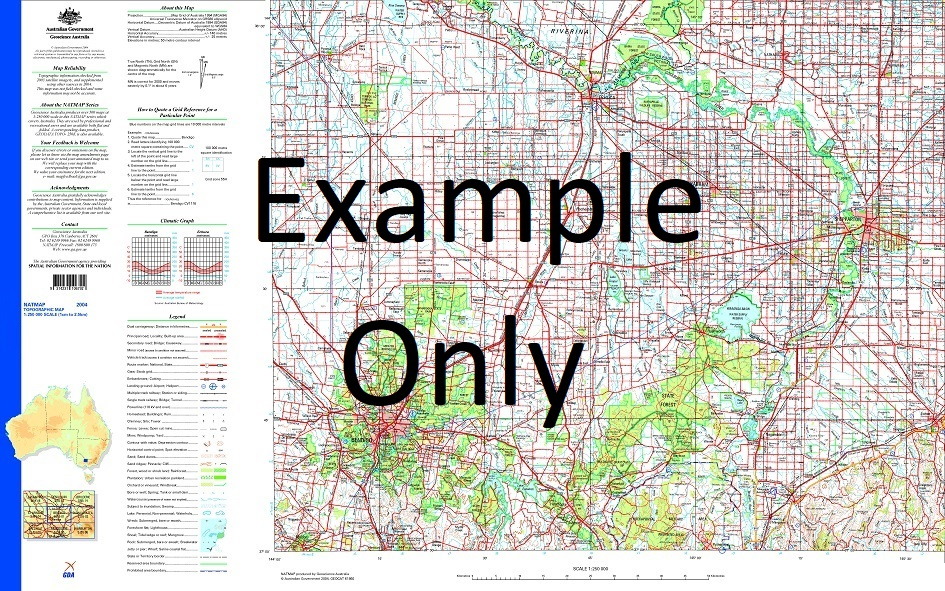
GA SH53-05 – Tallaringa Fashion
- Estimated Delivery : Up to 4 business days
- Free Shipping & Returns : On all orders over $200
This Topographic Map is produced by Geoscience Australia; Australia s national geospatial organisation.
GA topographic maps (many of which are produced in partnership with the Army) are generally older than those maps produced by the State Governments over the same area. This makes GA maps particularly useful for identifying historic features, such as old mines and diggings.
Geoscience Australia maps generally considered to be more pleasing in design and compilation then the more modern State Government productions.
At this scale, 1cm on this map represents 2.5km on the ground (4cm = 10km). A standard map will cover 150km from east to west and 110km from north to south, with a contour interval of 50m. This map contains natural and constructed features including road and rail infrastructure, vegetation, hydrography, contours, localities and some administrative boundaries.
Please note the date of the map, as this will impact the currency of information, particularly regarding infrastructure, roads, etc.
Moonbi Bore Lamont Bore Gruline Bore Lamont Tank Indooroopilly Tank Coopoorliginna Rockhole Blowout Yard Half Moon Lake Blowout Trig Islam Yard Indooroopilly Outstation Lake Anthony Black Oak Crest Dingo Flat Gate Mount Igy Paraminna Native Dam Tastevin Tank Tallaringa Well Blowout Tank Wilkinson Lakes Tastevin Yard Testevin Tank Murnaroo 1 Barton Range Two Stone Tank West Point Hill Foxglove Tank Digitalis Tank Carl Dour Yard Lamont Yard West Point Bore Anthony Tank Islam Tank Carl Dour Tank Goolagong Bore Blowout Bore Igy Corner Two Stone Yard Illbarrinna Rockhole Mobella Outstation Two Stone Bore Carnadinna Native Well Toondool Native Well Koonunda Native Well Poodjoorbinna Native Well Koonunda Well Carnadinna Well Murnaroo Well Murnaroo Native Well
| Title | Paper, Laminated |
|---|
