NSW 7436 – Kayrunnera Online now
- Estimated Delivery : Up to 4 business days
- Free Shipping & Returns : On all orders over $200
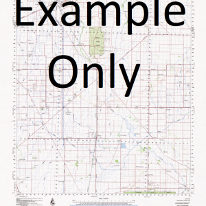
This Topographic Map is produced by the New South Wales Government.
This map is supplied in digital in PDF format, which means it can be printed at home or sent to a professional printer for a 100% scale reproduction.
At this scale, 1cm on this map represents 1km on the ground. A standard map (which is square) covers an area of approximately 54km by 54km, with a contour interval of 20m. This map contains natural and constructed features including road and rail infrastructure, vegetation, hydrography, contours, localities and some administrative boundaries.
Katalpa Mc Callum Park Royal Oak Pulchra Lonsdale Box Vale Kayrunnera Oak Vale Morambie Whipstick Wertago Bore Creek Boshy Creek Box Creek Briscoes Dam Cootawundy Creek Coturaundee Nature Reserve Coturaundee Range Cupala Creek Gap Creek Gemville Gnaltaknoko Creek Kerchie Creek Cootawundy or Coppermine Range Coppermine Range Curparlo Creek Koturaundee Range Muckabunnya Waterhole Nuntherungie Peak Tank The Peak Sandy Creek Spring Hill Tarella Government Tank Tarella Tank Tekum Creek Ten Mile Creek The Vee West Wertago Williams Creek Williams Peak Wonnaminta Creek Yanda Watercourse Bunkers Dam Bunker Tank Cope Ernoo Kandie Kerndombie Nulla Nulla Tully Walla Willdrilli Williams Woraro Yerndambool Yowahroo McCallum Park The Peak Tank Gemville Tank
| Title | Pdf Download |
|---|


