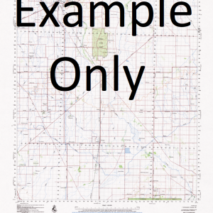
NSW 7932 – Coombie on Sale
- Estimated Delivery : Up to 4 business days
- Free Shipping & Returns : On all orders over $200
This Topographic Map is produced by the New South Wales Government.
This map is supplied in digital in PDF format, which means it can be printed at home or sent to a professional printer for a 100% scale reproduction.
At this scale, 1cm on this map represents 1km on the ground. A standard map (which is square) covers an area of approximately 54km by 54km, with a contour interval of 20m. This map contains natural and constructed features including road and rail infrastructure, vegetation, hydrography, contours, localities and some administrative boundaries.
Ashleigh Downs Glenlea Mintinery Tiarra ruins Coombie Mawonga Kalamunda Bevan Bog-a-Duck Swamp Coombie Creek Gypsum Swamp Kookabong Swamp Moongoola Thule Creek Tincho Swamp Tinco Swamp Wangaron State Forest Yathong Nature Reserve Yathong State Forest Bennett Billabah Burrenyinah Calytria South Carter Cogie Eildon Katarah Keleela Mallee Maroopna Moolah Nintie Tiarri Tinkoh Umphelby Wanga Wangaroa Winderima Irymple Dundooboo Keginni Range Mackays North Roto Well
| Title | Pdf Download |
|---|

