NSW 7938 – Fords Bridge on Sale
- Estimated Delivery : Up to 4 business days
- Free Shipping & Returns : On all orders over $200
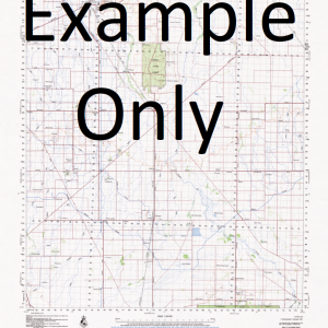
This Topographic Map is produced by the New South Wales Government.
This map is supplied in digital in PDF format, which means it can be printed at home or sent to a professional printer for a 100% scale reproduction.
At this scale, 1cm on this map represents 1km on the ground. A standard map (which is square) covers an area of approximately 54km by 54km, with a contour interval of 20m. This map contains natural and constructed features including road and rail infrastructure, vegetation, hydrography, contours, localities and some administrative boundaries.
Youngerina North Kerribree Pirillie Old Kerribree ruins Shannon Nelly Vale Cooncoolie Green Creek South Kerribree New Merita Curragh Waverley Merita Myroolia Ningawalla Maghera Romani Gumbalie Box Waterhole Coonbilly Creek Coonbilly Springs Lake Cooncoolie Lake Denman Fords Bridge Fords Bridge Bore Gumbalie Bore Gumbalie Dam Kerribree Bore Fords Bridge Dam Goombalie Goombalie Dam Greens Creek Kerribree Creek Bore Maghera Swamp Mingawalla Dam Mulchacera Plain Murty Dam Ningawalla Dam Poison Point Poison Point Bore Poison Point Plain Round Hill Plain Village of Fords Bridge Waltara Bore Warrego River Winnalabrinna Dam Woltara Bore Youngerina Creek Youngerina Lake Green Creek Dam Coonany Lake Merrita South Round Hill Winnalabrinna Coonbilly Glenelg Kerribree Merrita Tekaara Willyeroo Youngarinnia Bore Youngerrina Bore Kerribrie Creek Darling Shire
| Title | Pdf Download |
|---|
Related products
-
GA 4038 – Leech Hot on Sale
$12.50 -
GA 3965 – Edkins Online now
$12.50 -
GA 3957 – Tina on Sale
$12.50