NSW 8038 – Lower Lila Online now
- Estimated Delivery : Up to 4 business days
- Free Shipping & Returns : On all orders over $200
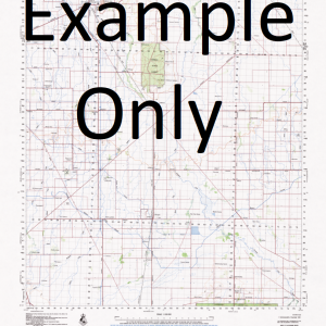
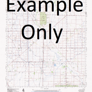
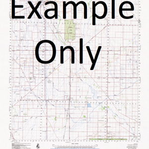
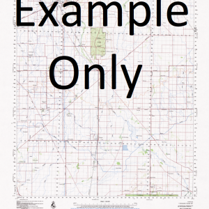
This Topographic Map is produced by the New South Wales Government.
This map is supplied in digital in PDF format, which means it can be printed at home or sent to a professional printer for a 100% scale reproduction.
At this scale, 1cm on this map represents 1km on the ground. A standard map (which is square) covers an area of approximately 54km by 54km, with a contour interval of 20m. This map contains natural and constructed features including road and rail infrastructure, vegetation, hydrography, contours, localities and some administrative boundaries.
Grass Hut Lila Springs Bellenbar Tuncoona Lower Lila Calooma Garlands Moongulla Warrella Plains Glengeera Lauradale Belvedere Artesia Pine-View Bulola Walkdens Cooley Arbour Bibildoolie The Big Island Birdsnest Swamp Boomery Dam Bottom Lila Lake Grass Hut Tank Gunderbooka Kellys Camp Bore Kellys Waterhole The Lake Tank Leila Lila Lower Lila Dam Model Hut Lake Mulga Multagoona Dam Native Dog Bore Pirillie Dam Racecourse Swamp Seventeen Mile Plain Sibraas Bore Six Mile Dam Sutherlands Lake Ten Mile Waterhole Toms Lake Tulls Bore Walkdens Bore Walkdens Plain Willara Creek Willveroo Creek Diamantina Dam The Dry Lake Brandis Coolamon Cooper Courallie Galar Greig Mooramia Nidgerie Polo Sutherland Tresillian Wommera Boomery Native Dog Artesian Bore Irrara Creek Lake Tank Fords Bridge Tank Belvidere Gidgea Camp Bore Darling Shire
| Title | Pdf Download |
|---|

